Nippletop and Dial
I have planned this hike so many times, and for a myriad of reasons it always falls through. I finally got my opportunity today, and I’m glad I waited – it was just a perfect day in the mountains and I loved every minute of this hike. I decided to do the loop counter-clockwise, ascending the steep Elk Pass to summit Nippletop first, with a gradual descent down to Dial and Bear’s Den. Total mileage for this day, including the walk through the Ausable Club/Lake Road, was somewhere in the neighborhood of 14.5.
My pace in the Santas last weekend was slow, and I intended to work on getting my speed up today. I set out from the St. Huberts trailhead at 6:10 a.m., prepared for the “dreaded” Lake Road trudge. In all honesty, I’ve never been certain why people despise the Lake Road. Aside from feeling silly walking through the grounds of the country club, I feel like the Lake Road gives me a chance to find a nice pace before the trail starts. Similarly, on the walk back I’m always happy to reach the Lake Road when I’m at my most exhausted, and no longer have to worry about tripping on roots and rocks for the remaining trek to the car.
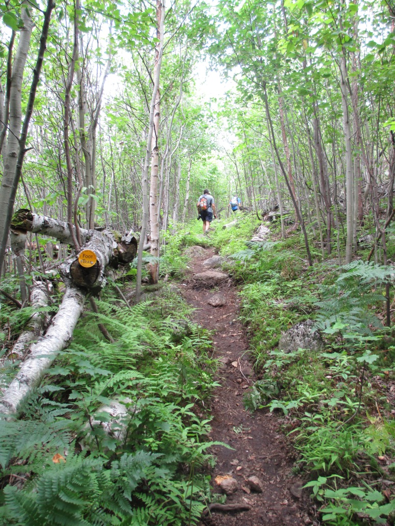
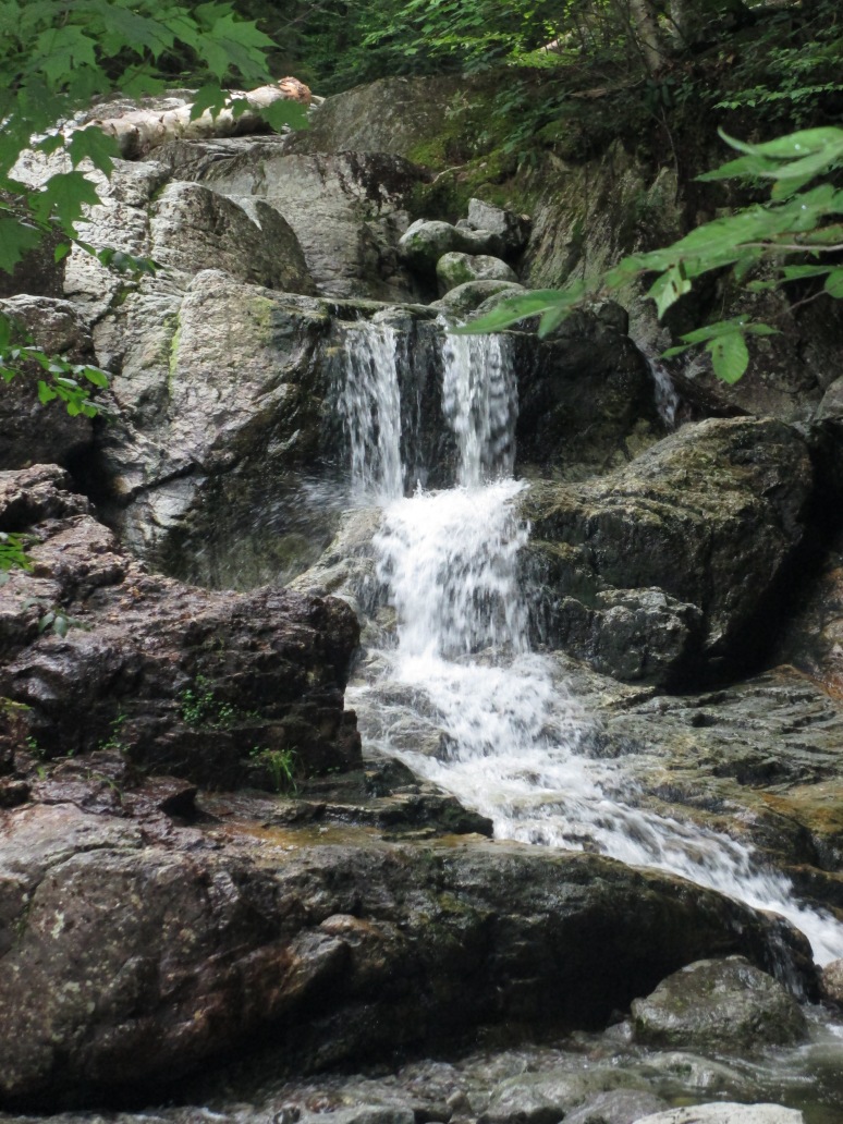
I took a lot of “watch shots” today, to document my pace between segments; I did, however, forget to note the time that I reached the start of the Gill Brook trail. I absolutely loved this trail – it was nice and soft, mossy and filled with bright green ferns and foliage, and ran along the Gill Brook for a bit. I kept waiting to gain elevation but the walk is flat for quite awhile. When I sensed the trail was about to veer away from the brook, my last opportunity for water, I chugged almost a full liter from one of my Platypus bottles so that I could refill – it was another humid day, and I’d started the hike with 4 liters. Ordinarily that would have suited me fine, but last weekend – also incredibly humid – I must have gone through at least 8 liters of water in the Santas. I was glad I forced myself to drink that liter because I was nice and hydrated at the beginning of the journey, and was also able to pay forward the kindness shown to me last weekend when one of my hiking partners had given me some of his water during the trek to Couchie; more about that soon.
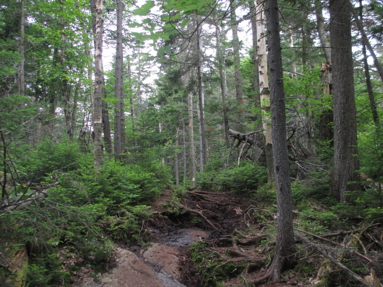
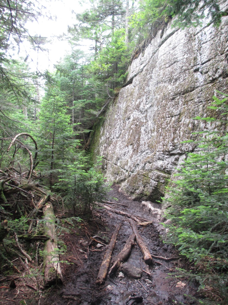
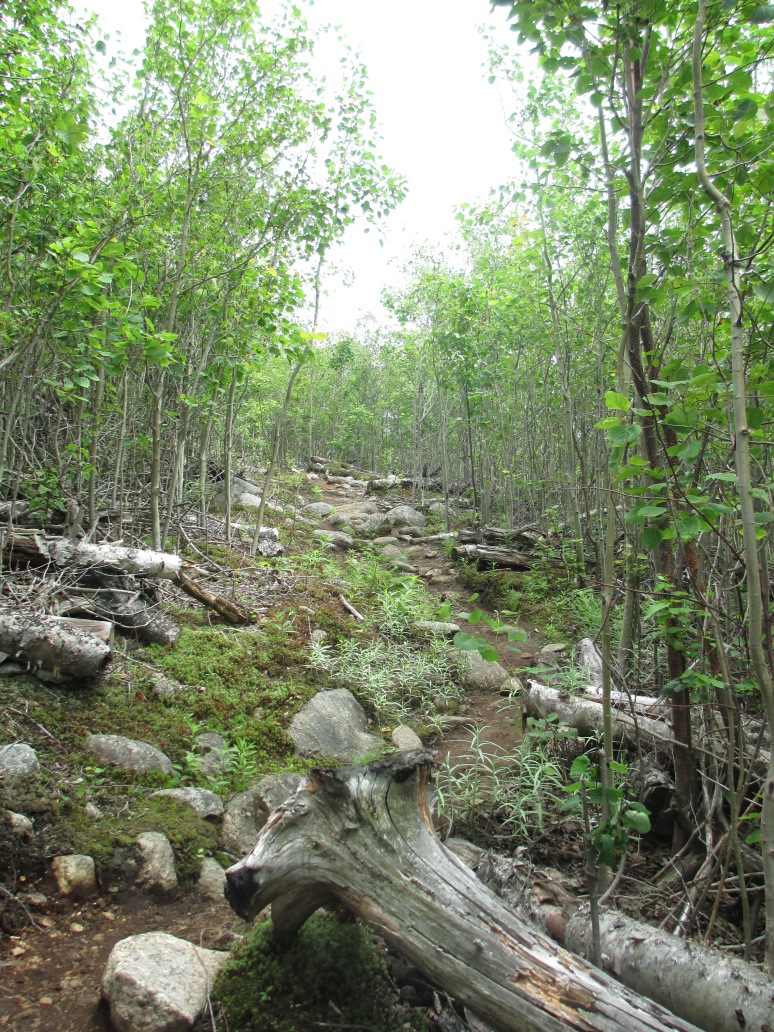
I’d heard that the ascent to Elk Pass was very steep. Perhaps it’s because my last two hikes have involved the Santanoni Express and Beckhorn trails, but I didn’t really find it to be crazy steep. The climb was steady but it was an easy walk, with plenty of handholds and footholds among the roots and rocks. I was much better about ascending without needing to stop every five minutes and catch my breath – in fact the only times I stopped were to have a snack, apply moleskin to my blistered feet, and of course to grab some water down before the trail started to climb.
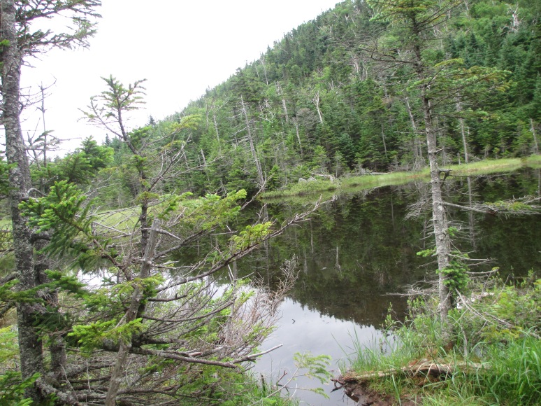
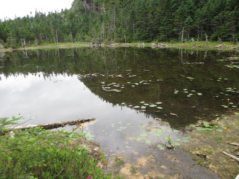
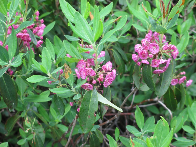
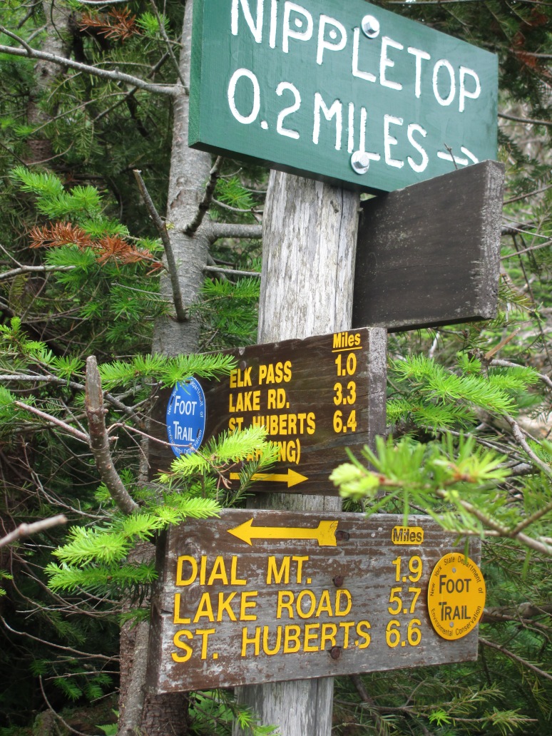
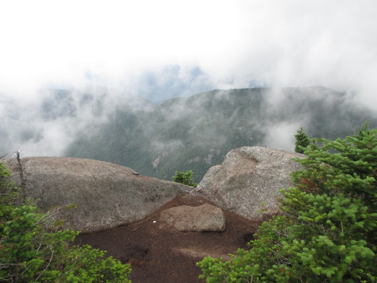
Elk Pass was beautiful, and one of my favorite parts of the hike. I loved the pond, which was filled with water lilies and lined with pretty pink flowers. I reached the summit of Nippletop a few minutes before 11. I couldn’t find a summit marker or benchmark, and the mountain was socked in by a cloud. I took a 15 minute break and enjoyed a snack while admiring the view of whiteness; occasionally the clouds would blow out and reveal a gorgeous view. As I was arriving at the sign indicating I had 1.9 miles to Dial, I ran into a father and son; up to this point I’d only seen one other person, a young guy who was trailrunning the loop, making me feel like a huge wuss. The father and son were the only other hikers doing the loop counterclockwise today, and I’d see them again later in the day.
I arrived on the Dial summit just before 12:30; again, no benchmark or summit marker. The clouds were blowing around, and I had some partial views. I was bitten by a deer fly – my first bite of the day – and applied more Deet; the bugs were out on both summits in droves. After a few minutes another female solo hiker stumbled up onto the summit; she was doing the loop clockwise. She was really struggling, and had a hard time hoisting herself onto the rocks. I thought to myself that I must have looked like this last weekend, when I was struggling in the Santas. She sat down to rest and we chatted a bit. She expressed that the humidity was causing her to drink more water than she had expected, and was concerned that she hadn’t brought enough. She didn’t bring any fluids with electrolytes. I gave her one of my Platypus bottles full of gatorade and told her to take a nice long drink, assuring her that I had plenty of fluids as most of my hard climbing was behind me at that point. Before I left, I poured another half liter of gatorade into her bottle; she was grateful. I hope she made it down okay; several hikers that I crossed paths with also expressed concern for her, so at the end of my hike I alerted the ranger at the AMR station to her situation and let him know that if she hadn’t signed out by this evening, to be aware that she may be in need of help.
I started out toward Bear’s Den, a small mountain that lay between Dial and the Lake Road, at around 12:50. The gradual descent from Dial seemed to go on forever, and then I’d walk a flat for awhile, certain I was in the col. Eventually I got to the summit, which was nondescript except for a nearby sign alerting me that I had 3.8 miles to St. Huberts; it was a little past 1:30.
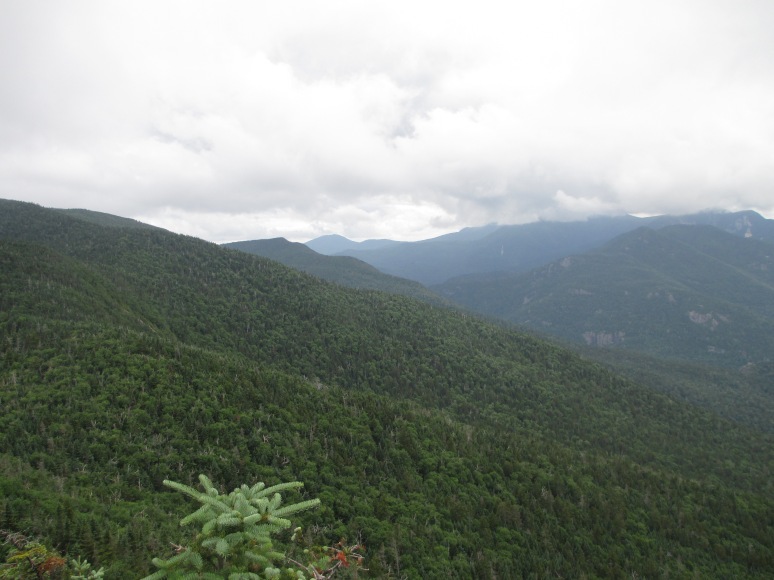
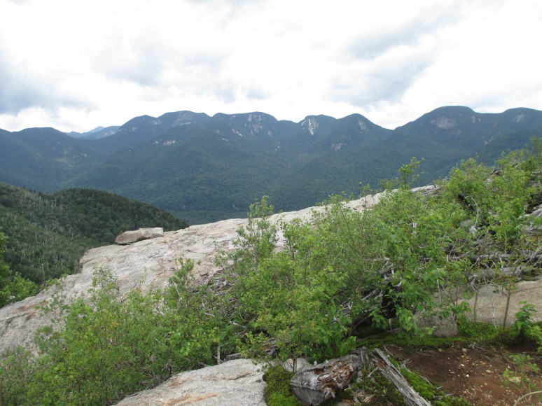
I planned to really pick up the pace at this point, but all of a sudden I started getting sharp twinges of pain in my right leg, just below my knee. I made an effort to step using both legs equally, thinking the pain might have been due to overuse. My pace dwindled to a crawl, and I finally stopped to take some Ibuprofen, taking a 10 minute break to allow it to kick in. When I started moving I was still hurting, but I just made my way down slowly and easily. At that point, the father and son team overtook me. They asked if I needed help and offered to walk with me, but I assured them I’d be okay as soon as the Ibes kicked in. Sure enough, a few minutes later I was picking up my pace, and I crossed paths with them a few more times on the descent. The clouds had finally dissipated and the sun was out; I shared a short break with them on some rocks, where we admired the first view we’d had all day – the amazing view of the Great Range I’d been hearing about.
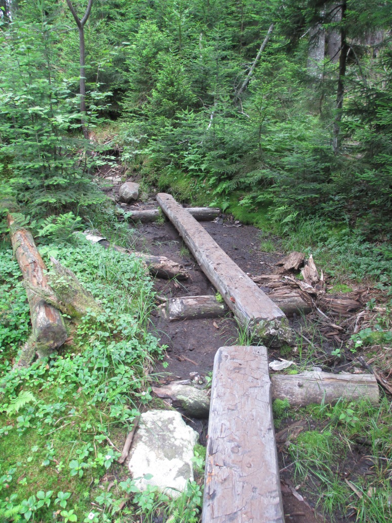
The rest of the Leach trail was a mostly gradual descent, with a handful of steeper sections. I was really glad to have done the loop the way I did; it seems that the folks I passed going in the other direction were a lot more exhausted. I arrived back at St. Huberts just before 4pm. Being that my breaks throughout the day had totaled 55 minutes, I was happy with the time I made – much improved from last week.
Despite the lack of views from the summits, it was a beautiful day to be out in the mountains, and this is one hike I’d gladly do again.
Congrats, Pru- 33 down & 13 to go! That ratio gets nicer & nicer. Glad you’re feeling stronger- how’s the knee? These were just about my first- I did them clockwise but had I had more experience, I would have also done them counter-clockwise. What’s next & when?
So close, and still so far away! I’d love to finish this year, but it’s been so wet and I’m afraid of Allen’s algae. Any tips, other than waiting for a dry spell? I think Sawteeth is next on the agenda – have a friend visiting this week who wants to hike with me, and I think that one will be doable.
Would love to do Sawteeth again so give me as much notice as you can & weather & time permitting, I’ll join you. This time, clock-wise is mandatory- steep up with several lookouts over AuSable lake including a fabulous one of Indian head. Consider Pyramid on way down- relatively little extra effort and enormous bang for the buck! Unfortunately, maximum lake road trudge in and slightly less out if you do the loop- but well worth it. And I’m with you, power walking the lake road ain’t so bad except when the bus blows by you ;(
Sounds like it was a good hike – and, as usual, great pics!
Thanks!
Pru, as always your pics are great. It so beautiful in the daks! Don’t think I will get a chance to get up that way this year but I will make it a must for next! You are brave to go out there alone. Looking forward to the next one as I vicariously hike through your blog!